Yerba Buena Cove & Commercial Street
Maps of Yerba Buena and Yerba Buena Cove
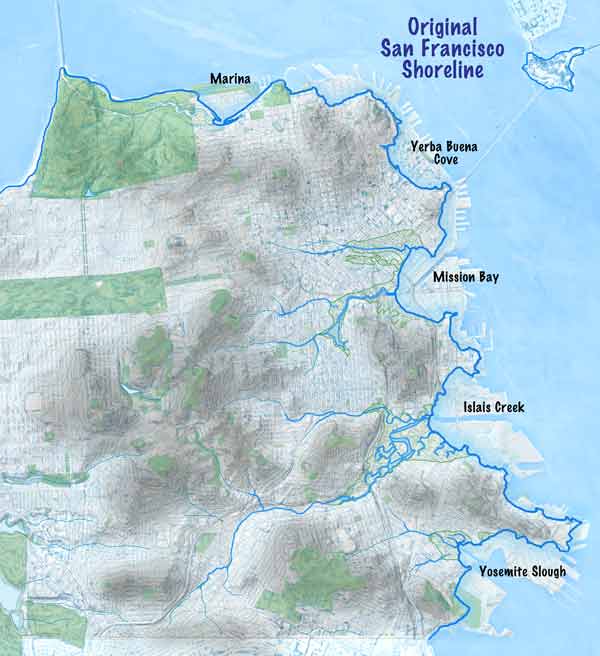
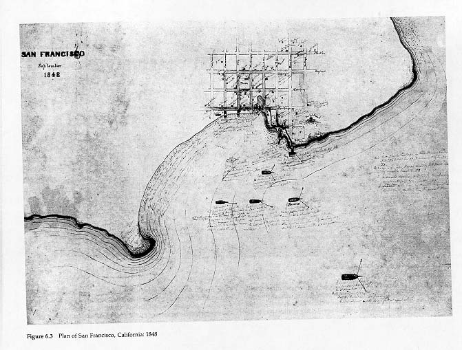
Village of San Francisco on Yerba Buena Cove
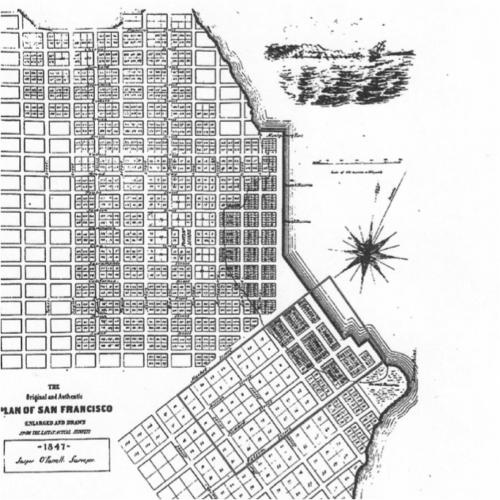

Map of cove and lots to Mongomery Beach.
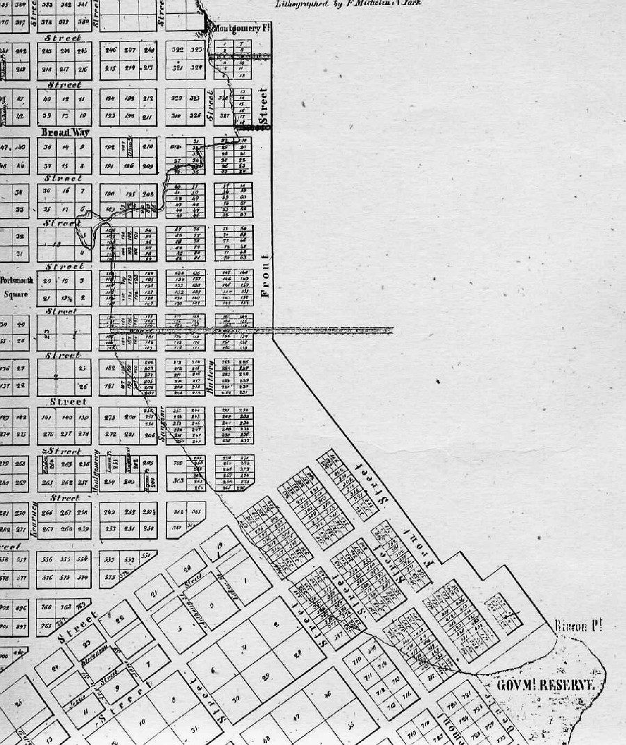
Lots to the East of the shoreline were planned to Front st. After those water lots were filled in San Francisco continued out into the bay to the embarcadero.
The "Long Pier" running West to East is now Commercial Street.

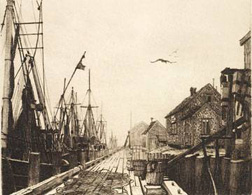
By Mersky

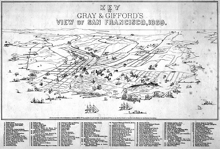
by Gray & Gifford


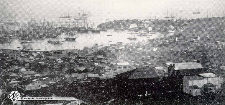
Photographs of Yerba Buena Cove During & After the Gold Rush
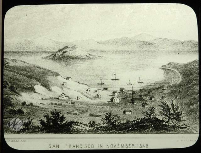
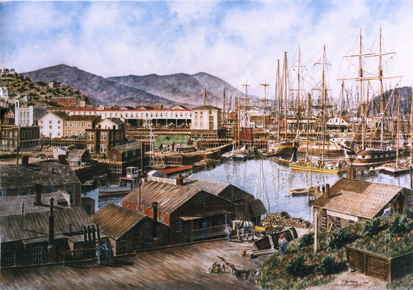
Artist's renderings of Yerba Buena/San Francisco in the 1800s
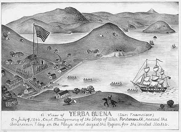
Artist's rendering of Yerba Buena Cove and "The Plaza" on the day that the USS Portsmouth landed Capt. John B. Montgomery and claimed the village of Yerba Buena for the United States.
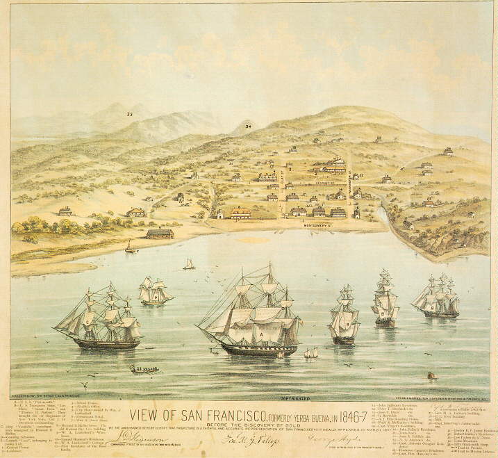
This famous lithograph by Edward Bosqui was originally drawn by Captain W.F. Swasey, a continuous resident since 1845. It notes named streets and 35 structures and vessels at the time along with their owners.
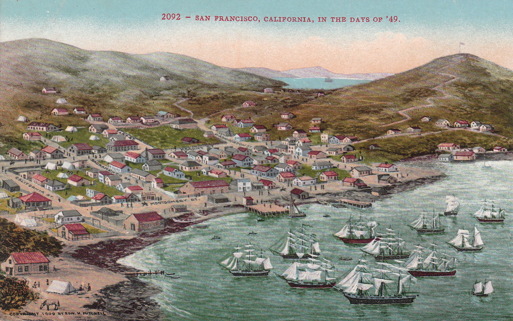
Painted in 1909 by Edwin H. Mitchell
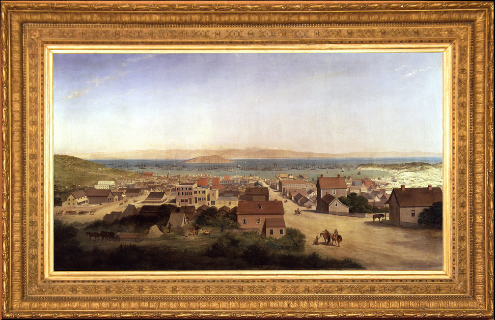
This 72"x41" oil painting by George Henry Burgess in 1879 was on display at the Montgomery Gallery at 406 Jackson St.


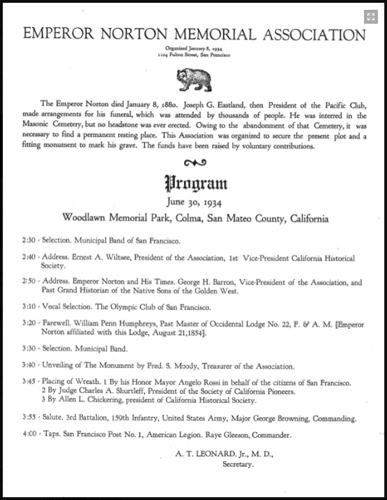
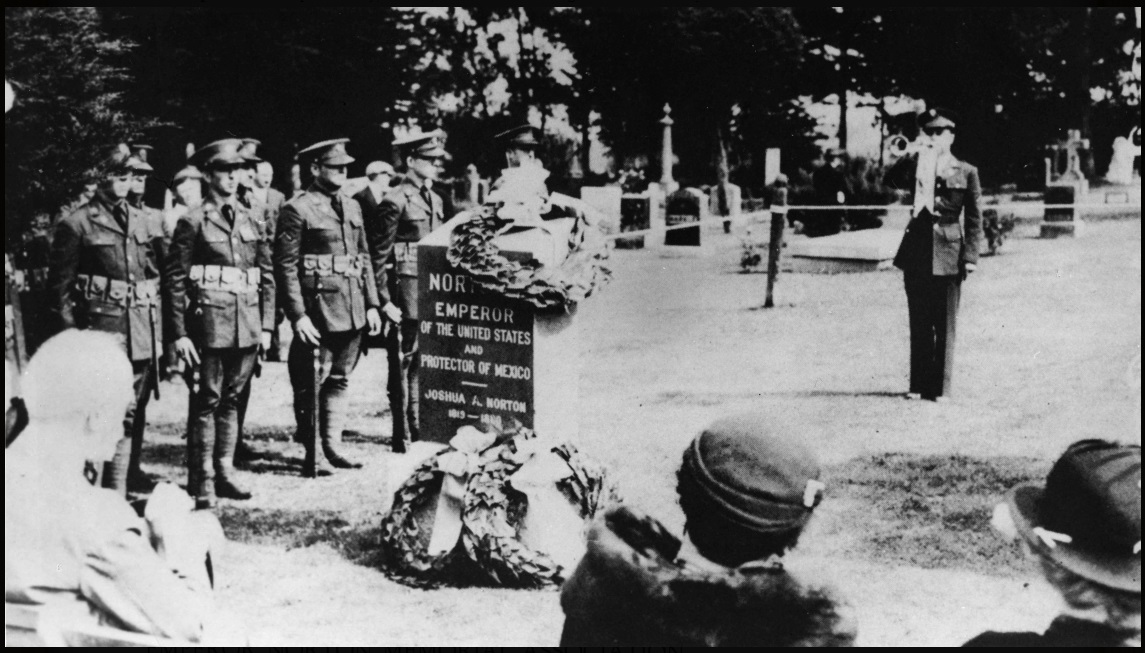
Emperor Norton
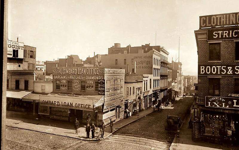
Boarding House
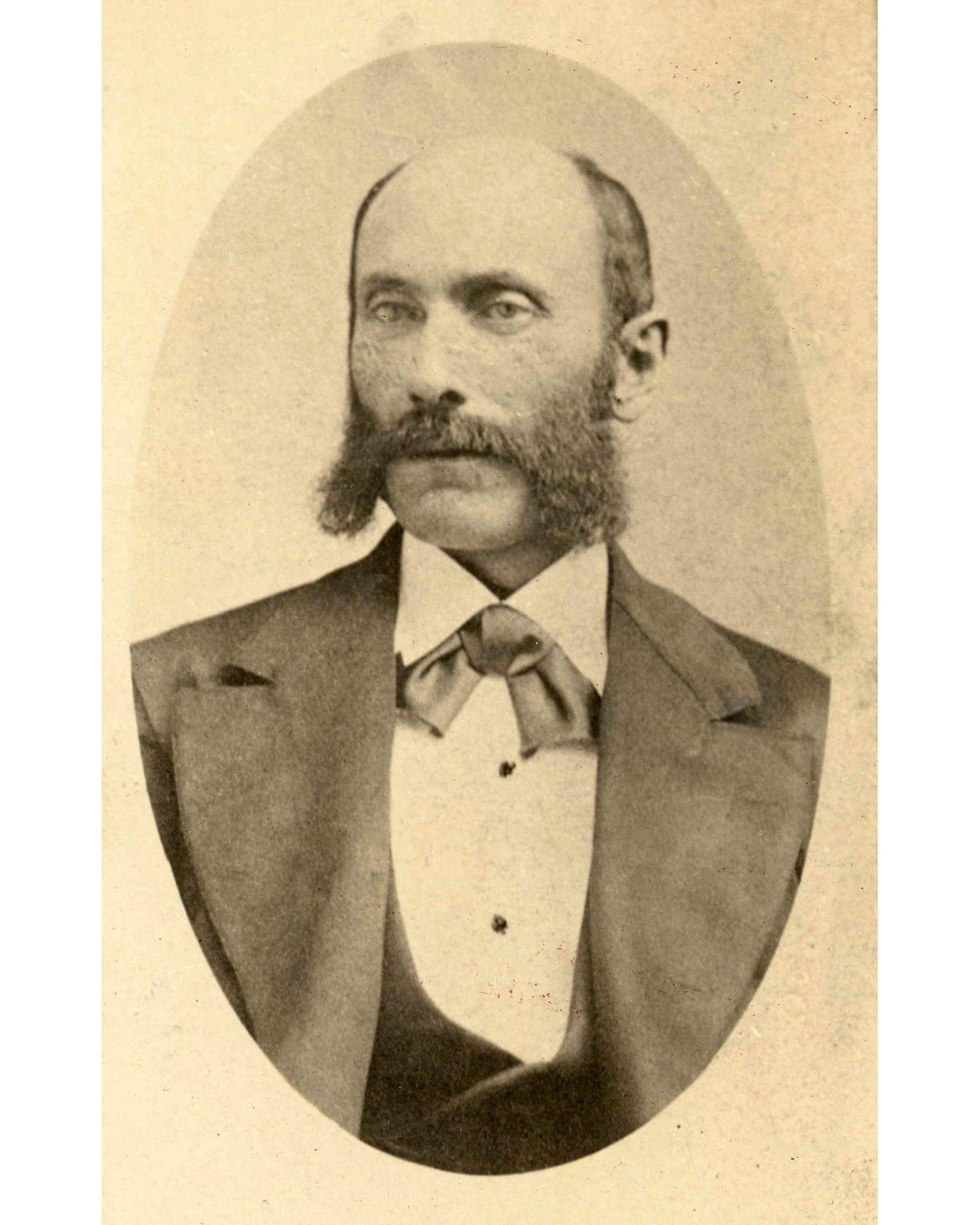
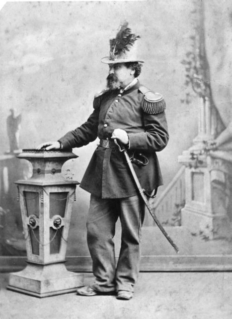
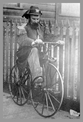
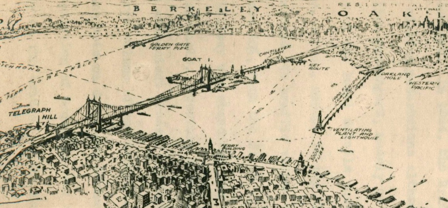
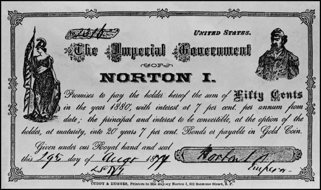
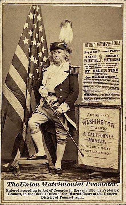
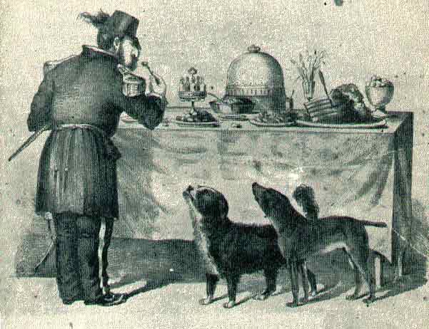
While many advertisements showed the strays with Norton, He did not care for the animals. They would cross paths in the neighborhood including Buckly's Snug Saloon at McGuire's Opera House.
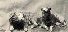
After their death they were stuffed and kept on the bar at Buckly's Snug Saloon. They were eventually sent to the Academy of Sciences but and later destroyed.
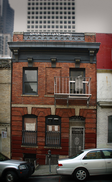
Brothel whose one-time land lord was Rube Goldberg.


